BACK     |   NEXT    |   South Island Map    |   New Zealand Pictures     |   Site Index


Pictures of New Zealand's South Island

Lewis Pass, Maruia Hot Springs and Westport
Days 5 through 7


Cape Foulwind, West Coast

Once we'd unglued ourselves from the magical northwest, we headed to the mountains and thermal springs at Lewis Pass. It rained all day. This made ape of plans to take the four wheel drive route from Lake Rotoroa through to Murchison. The first of four higher than average stream crossings had us turn back to safer ground.

Picture us later that drive, in rain, with cellphone, having Bruce (in Wellington, also on cellphone, and on his bike), direct us to an unmarked cliff of leaf fossils on Mangles Valley Road and instruct us how to crack the rocks to find them.

The continuing rain, and clouds of sandflies, kept us from enjoying the remote hot pools in the Lewis River, but not from a long soak with convivial company in the well appointed Maruia Springs.

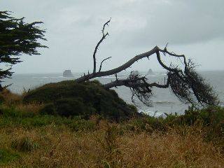
Gloomy conditions left little opportunity for scenic shots for a day or two. 
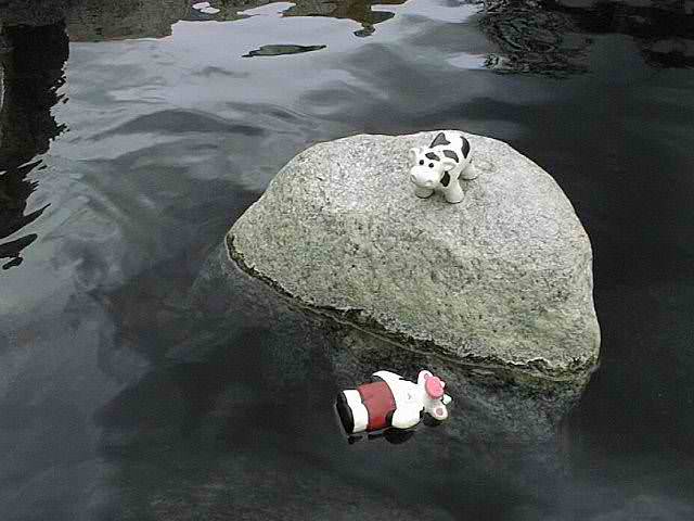
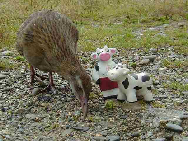
But cows know how to enjoy themselves.


Maruia Hot Springs, Lewis Pass

Although the rain continued next day, it made for a spectacular drive to the West Coast past the waterfalls swelling the Buller River. It had cleared by the time we made Westport's Cape Foulwind (photo at top), with its intimate view of a coastal seal colony.


Seal Colony, Tauranga Bay


The cows took time to feed a Weka

Comic Kea
NEXT

Further exploration of the coast south of Westport resumed the following day.
Further encounters with brazen birds as well.

BACK     |   NEXT    |   South Island Map    |   New Zealand Pictures     |   Site Index


Please enjoy browsing our pictures of the South Island of New Zealand
See here
     for our terms of use. Copyright© JustOurPictures.com. All rights reserved.