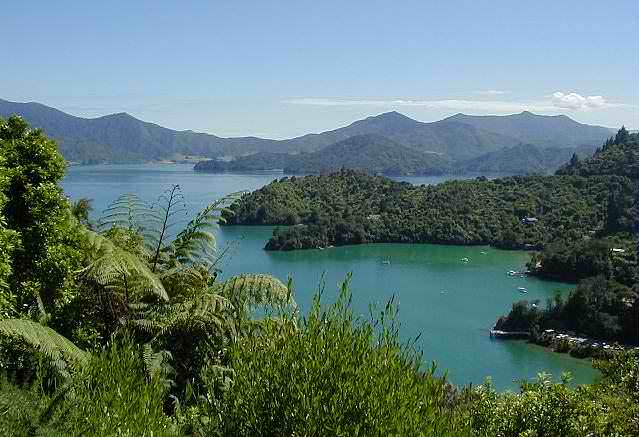
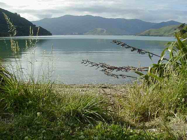
After the ferry dropped us in Picton, we drove some nice portions of the coastal road through the Marlborough Sounds (photo above), ending up camping for the night at a little spot right on the water - three other groups of campers nearby, quite quiet, except for the most outlandish creature noises in the night. Below is the view from our campsite.
Nikau Cove on Kenepuru Sound
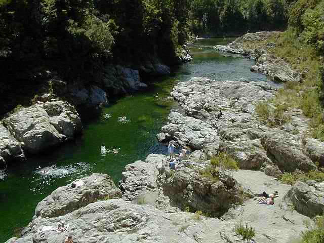
Pelorus Bridge
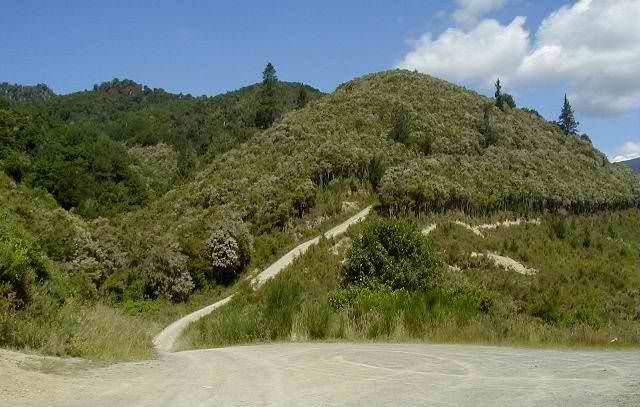
We continued on from the Sounds, toward the northwest portion of the island, headed for Abel Tasman National Park. At the Pelorus Bridge junction, we left the main route to cut over the mountains on a 4WD road we'd heard about. It started out very mild but ended up pretty convincingly 4WD. We want to know if Bruce actually knew what he was getting us into. :) There were a number of places where we had to choose our route - little signage to help with the choice. Eventually we ended up at the bottom of the Nelson water catchment basin and we were quite unsure of which way to attempt. A short time later, someone else came along from the direction we were heading. They said we were nearly out to the gravel road. The last little segment of road was very steep, narrow and overgrown. The certainty of knowing the route was right was enormous. The photo below is of the very last steep segment of the road.